The World Ocean Floor map, created by Marie Tharp and Bruce C. Heezen, took years of data collection and synthesis — and Tharp’s tenacious march forward despite the barriers women faced in science during her lifetime.

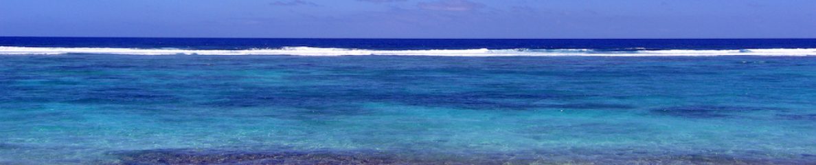
Image: World Ocean Floor Panorama, Bruce C. Heezen and Marie Tharp, 1977. Copyright by Marie Tharp 1977/2003. Reproduced by permission of Marie Tharp Maps LLC and the Lamont-Doherty Earth Observatory)
Tharp was a pioneer in ocean floor mapping, and her innovative work is a story of perseverance in the face of sexism. Tharp was born in 1920 and throughout her career she encountered numerous doors closed to women in science. When she was young, Tharp joined her soil-surveyor father on his work trips, which introduced her to cartography. But cartography was designated as “men’s work,” so she earned her university degree in English and music, considered appropriate pursuits for women at the time.
World War II opened possibilities for Tharp to study and work in science. Women were needed to fill in for men who went to war en masse, and as part of that mobilization women were more widely admitted into scientific study programs. Tharp went to graduate school in science and earned master’s degrees in petroleum geology. She then worked for an oil company but chafed at being confined to office work because women weren’t allowed out into the field. Field work was considered “men’s work.”

Marie Tharp at her drafting table in Lamont Hall circa 1961. (Credit: Lamont-Doherty Earth Observatory and the estate of Marie Tharp)
Tharp moved to New York City and took a job as one of the first women at the Lamont Geological Observatory at Columbia University. She eventually started collaborating with Bruce Heezen, a fellow geologist. Women were still excluded from working aboard ships at that time, so Heezen went out to sea and collected ocean floor data, while Tharp synthesized his data and drew maps. “She painstakingly aligned sounding profiles from Atlantis and other vessels, creating a total of approximately six profiles stretching west-to-east across the North Atlantic,” work that “represented the first systematic attempt to map the entire ocean floor.”
And Tharp did finally get to go out and collect ocean data — starting in 1968!
Tharp and Heezen’s scientific mapping of the ocean floor was crucial to our understanding of more than the ocean …
“…they laid the foundation for later work that showed the sea floor spreads from central ridges and that the continents are in motion with respect to one another — a revolutionary and controversial theory among geologists at the time, but crucial to the development of plate tectonic theory.
… {Tharp’s} pioneering work forever changed the way people think about and study the rich topography of the ocean floor.”

One thought on “Spotlight: Marie Tharp, Pioneer of Ocean Floor Mapping”